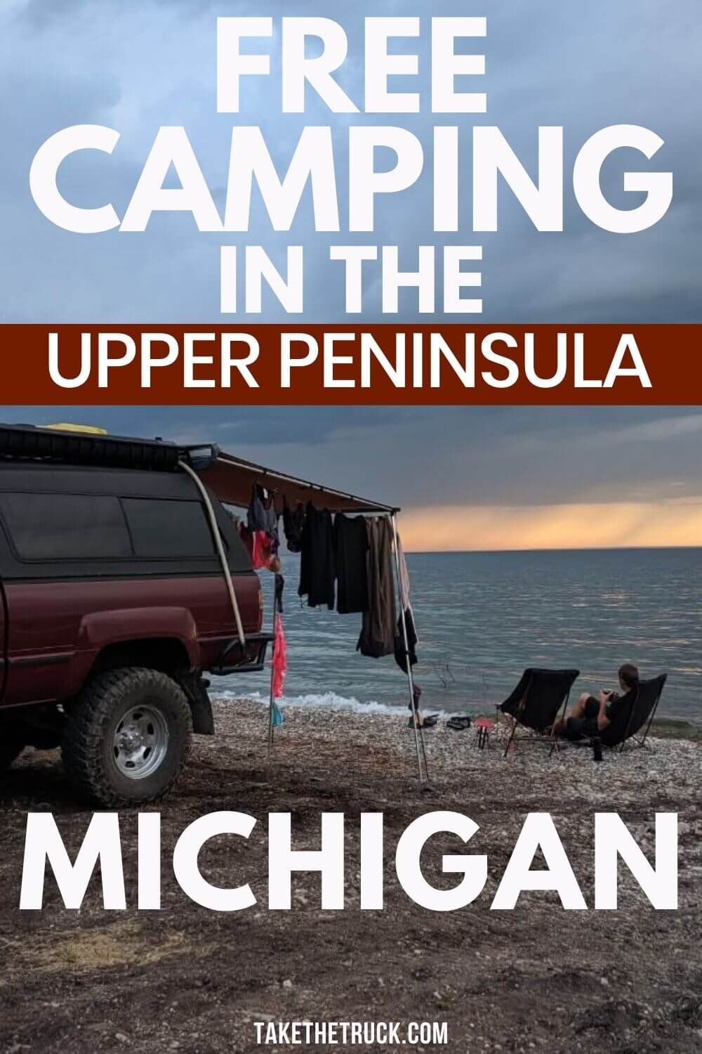
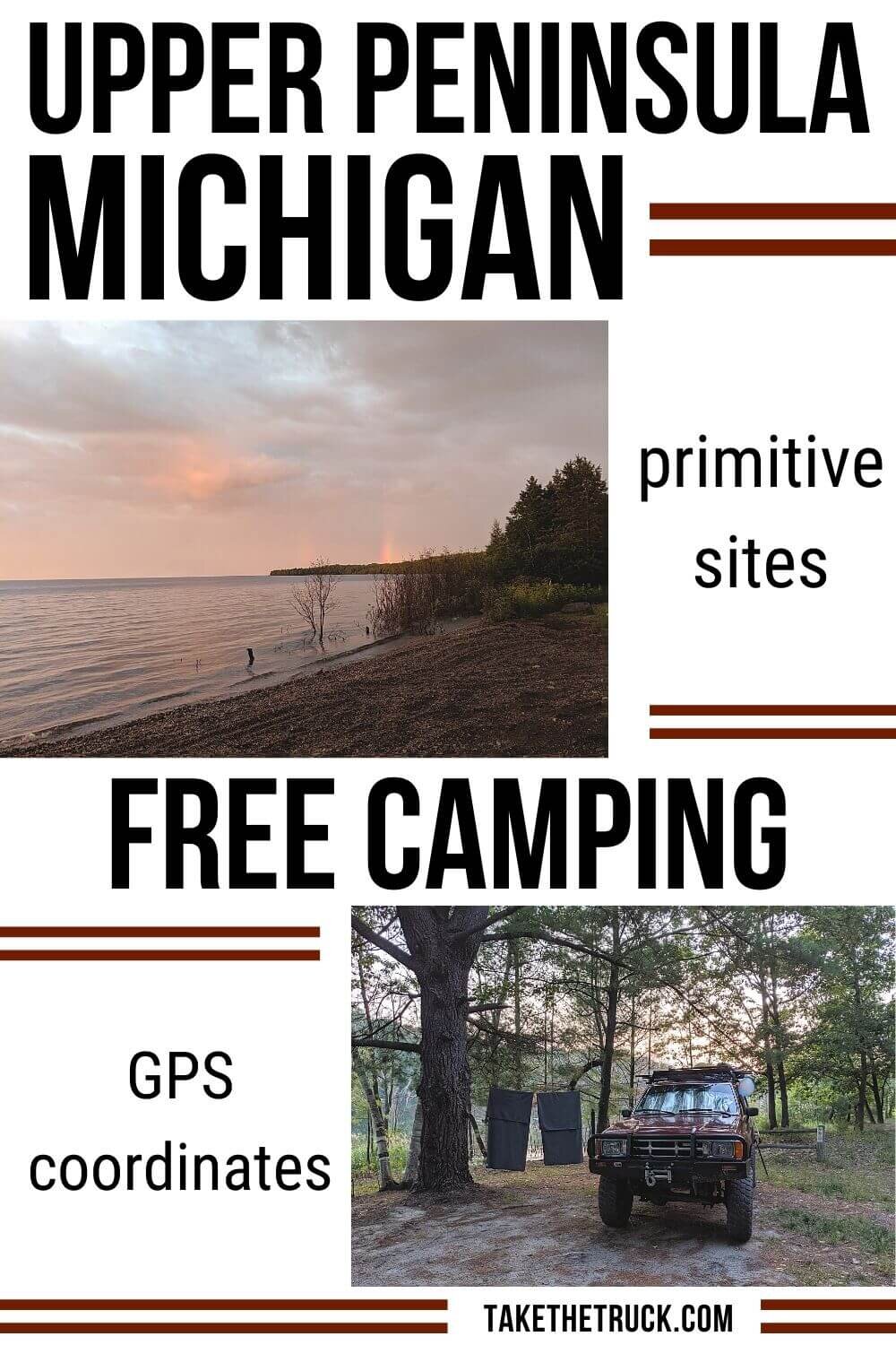
Free Camping in Michigan’s Upper Peninsula [12 Primitive Spots]

*(This post contains affiliate links. This means we may receive a small commission, at no additional cost to you, if you make a purchase through a link. See our full disclosure.)
If you’re looking for some great free camping spots in Michigan’s Upper Peninsula for an upcoming U.P. road trip or camping trip, you’ve come to the right spot! We’ve got 12 free Upper Peninsula camping spots for you to check out.
But before we get into the free campsites, a couple general notes about camping in the U.P.:
These 12 sites are all primitive camping in Michigan. That means you have to be set up to boondock or wild camp with no water hookups, no electric hookups, no trash service, and no shower houses. When you’re done reading about these camping spots, check out this post - Start Wild Camping Like a Pro [16 Boondocking Questions Answered] - for tips. Also become familiar with the 7 Leave No Trace Principles before wild camping.
Many of these sites are on Michigan state forest land and are maintained by The Department of Natural Resources (DNR). Pay close attention to the “State Land Rules” on page 2 of the permit which give guidelines for using this land for free.
The DNR Form/Camp Registration Form that’s required to be posted at state forest camping areas can be found here. We recommend you print a handful before leaving for your U.P. camping trip.
Always leave sites better than you found them, which sometimes means cleaning up other people’s garbage. Free camping sites are routinely shut down because they cost too much to maintain when a bunch of people leave their trash all over. We recommend carrying a few kitchen sized trash bags and disposable gloves
Because they’re in the cold and sometimes harsh U.P., these campsites are not left open through the winter. Most are open roughly between Memorial Day and Labor Day.
Bugs! Rather than making a note about every. single. spot. having a swarm of bugs - from biting flies to mosquitoes - we’re saying it once! Do not visit Michigan’s Upper Peninsula without several options for keeping the bugs at bay.
Here’s the deet-free spray* we recommend
This permethrin spray* is for treating your gear and clothing before your trip
This portable mosquito repellent* keeps bugs away within a 15 foot radius with no spray or scent (so you might want a couple to set up around camp). Belt clip optional. Don’t forget to grab some extra cartridges.
Ya know what, you might just invest in one of these*. Ha!
Don’t count on cell service being consistent in the Upper Peninsula. Most of our sites had poor or no cell service. Consider investing in a good booster if you’re dependent on service.
12 Free Primitive Camping Spots in the Upper Peninsula of Michigan
French Farm Lake Free Campground
GPS Coordinates: 45.759058, -84.766928


This popular free camping area in Michigan fills up rather quickly, probably because it’s convenient camping near Mackinac Island. You can also bike or walk to Headlands International Dark Sky Park and a Lake Michigan public beach access.
The 6 open campsites (6 more are barricaded and marked as no camping) are off a well maintained one-lane dirt path and right on French Farm Lake. You might see some fishermen using the boat launch at the end of the dirt path, but you won’t see anyone swimming here as the lake is too marshy.
The sites are large enough to share if desired, and are spaced far apart from each other, providing plenty of privacy.
Outside of makeshift fire pits, there are no amenities provided at this free campsite, making it a great place to experience primitive camping in Michigan. Likely, RVs much longer than 25 or 30 feet would have a difficult time leveling or even turning around.
This free campsite in Michigan is maintained by the Department of Natural Resources, so you’ll need to have a copy of the DNR form (see above) to post at your site.
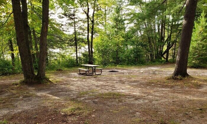
Free Hiawatha National Forest Site
GPS Coordinates: 46.018146, -84.719897


This is a single free camping spot in Michigan’s Upper Peninsula, found off I-75 in Saint Ignace, about 25 minutes north of the Mackinac Bridge.
This primitive camping spot in the U.P. offers a single fire ring as its sole amenity. There’s a steep trail leading from the campsite to the Carp River found below.
Although located pretty close to the interstate, the campsite is secluded and all we noticed was more of a constant hum from traffic.
Free Drummond Island Camping on Lake Huron
GPS Coordinates: 45°59'41.7"N 83°30'20.4"W


If you have off-road capability and want to go exploring on Drummond Island, you’ll appreciate this free Upper Peninsula camping spot!
This primitive camping site is away from all civilization and found right on Lake Huron. You’ll likely see groups of Jeeps drive by, but otherwise expect solitude. The beach is covered in smooth stones instead of sand (woohoo!), but there’s very little natural shade at this campsite (boooo!) so bring an umbrella if you don’t have an awning on your rig.
There are also no amenities at this primitive campsite. However, you can fill up your water containers for free at Sune’s IGA Grocery before heading down the trail (there’s a spigot on the east side of the building).
Glen Cove Road leading to this camping area is rated as 2WD. At Glen Cove the road becomes rated as 4WD, and after 2 miles on this 4WD road you’ll reach this free Drummond Island camping spot. However, if you aren’t able to drive on the 4WD road in order to reach the site on Lake Huron, know that we also passed multiple free campsites off the 2WD Glen Cove Road, so keep a look out as you drive in.
We found the Drummond Island Tourism Association to be hugely valuable in planning our route and finding places to camp for free, so consider a stop in there.
Free Camping Near Tahquamenon Falls
GPS Coordinates: 46.641113, -85.126612


This free camping area in Michigan’s Upper Peninsula is about 15 minutes from Tahquamenon Falls and about 20 minutes or so from Whitefish Point.
So if you’re set up for primitive camping during your Upper Peninsula road trip, consider camping for free here as an alternative to camping in the Tahquamenon Falls State Park.
The area is pretty much a large flat open area so any sized RV can find a spot, but don’t expect to feel secluded or to find any amenities.
The free camping area is on State Forest Land so be sure to have your DNR permit filled out and posted. If you don’t already have one printed when you arrive, try the kiosk outside of the DNR Office in Paradise.
Free Camping East of Pictured Rocks National Lakeshore
GPS Coordinates: 46.6279, -86.09573


This free camping area in the Upper Peninsula is only 1.5 miles from the Log Slide Overlook and Au Sable Light Station of Pictured Rocks National Lakeshore, found in the forest right at the border of Pictured Rocks.
Some of the cleared free camping spaces are like a big field and you may be camping near others, all surrounded by tall trees. There are no amenities here, but drinking water is available at Pictured Rocks National Lakeshore from an unthreaded spigot.
To get to this camping area, turn south off H-58 onto Rhody Creek Trail (46°38'24.0"N 86°05'41.6"W). At around .75 to 1 miles down Rhody Creek Trail, you’ll see cleared areas that are free to camp in. Rhody Creek Trail is a maintained gravel road and any sized RV should be able to comfortably boondock at this free camping spot.
Free Hiawatha National Forest Camping Near Munising
GPS Coordinates: 46.354616, -86.503669


This is another free primitive camping area about 20 minutes away from Michigan’s Pictured Rocks National Lakeshore. It’s down a little two track road in the Hiawatha National Forest.
This is one of those sites that we pulled into late in the day and left early the next morning. We took the first cleared spot we saw because we actually had cell service (amazing!) for work.
The free camping spot we stayed in was small, overgrown, would have been too lumpy for tent camping or for a large RV to easily level, but did have a fire ring, although it was filled with garbage. So not the best, but still a free and legal place to sleep.
You may find better sites by exploring further down the road - based on satellite images the sites look to be larger, more level, and cleared.
To get there, turn off 94/28 and when the road immediately forks - go to the right. You’ll start seeing cleared free camping spots soon.
Hovey Lake Dispersed Campground in the Hiawatha National Forest
GPS Coordinates: 46.291, -86.701
Hovey Lake Dispersed Campground is a free campsite in the Hiawatha National Forest of the Upper Peninsula and is operated and maintained by the U.S. Forest Service. It’s about 30 minutes away from Pictured Rocks National Lakeshore.
Each of the five campsites are located on Hovey Lake and are spaced apart with trees in between for some privacy. Don’t pack your swimsuit as Hovey Lake isn’t good for swimming, but there is a non motorized boat launch if you want to do any fishing.
As far as amenities at this primitive campground, each site has a fire ring and picnic table. There are pit toilets and hand pump water is available, although it may not be potable. A few miles back up Buckhorn/USFS 2254 there’s a lodge with free wifi if you need it.
This free campsite is located on the east side of Hovey Lake. The GPS coordinates are correct, but Google Maps will likely direct you to turn south down Blueberry Lane. Instead of doing that, turn south down Hovey Lake Road/USFS 2473 which is only ¼ mile east of Blueberry Lane. Drive for less than a mile before turning right onto USFS 2367 towards Hovey Lake Dispersed Campground.
Moose Rapids Campground
GPS Coordinates: 46.457504, -88.073439

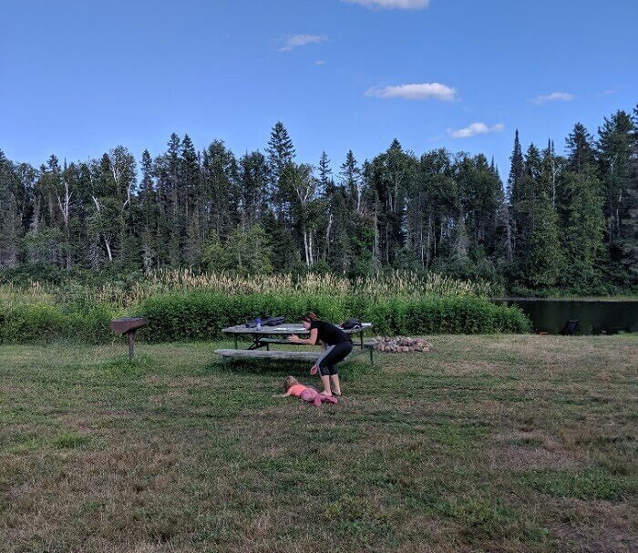
Yes, the only photo we have of Moose Rapids Free Camping is when Patrick whipped out his phone to document our kiddo wiping out.
Moose Rapids Campground is a free primitive campground about an hour west of Marquette in the Upper Peninsula of Michigan. Of the 10 or 12 sites here, 2 are by the river with pretty views, a few are pull-throughs and could manage larger RVs, and most are smaller sites carved out from the trees.
The town of Champion maintains this campground with the help of the suggested $5.00 donation per stay (not mandatory), and they do a great job. There are clean and stocked porta potties, picnic tables, a water pump, and all sites were mowed and in good condition during our stay.
We enjoyed this campground and it was really quiet while we were there with only one other camper.
Sturgeon River Campground in Ottawa National Forest
GPS Coordinates: 46.57, -88.656


The Sturgeon River Campground is a free USFS Campground in the Ottawa National Forest of Michigan’s Upper Peninsula. There are 9 great sites along the river with enough space and greenery between them to provide some privacy.
As far as amenities go, this is primitive camping. There are picnic tables and a pit toilet, but you won’t find any trash or water services.
To get to the Sturgeon River Campground from M-28, turn north onto FR 2200 in Sidnaw. After driving for about 5 miles you’ll see signage and the free campground on your left.
Sparrow Rapids Campground in Ottawa National Forest
GPS Coordinates: 46.504776, -88.94735


Sparrow Rapids Campground is another free USFS Campground in the Ottawa National Forest of the Upper Peninsula. There are 6 sites with paths leading down to the East Branch Ontonagon River.
You’ll find picnic tables, fire rings, and vault toilets at this free primitive camping area, but no other amenities like water or trash service are provided. Although we never saw it, we were told that there’s a roadside park with potable water 2 miles away. Asking in the nearest town, Kenton, might help.
Larger RVs shouldn’t have a problem finding a camping spot if set up for boondocking. After turning north off M-28 onto NF-16, you’ll turn left onto Forest Service 1100 and travel about 4 miles before seeing the campground on your left.
Free Lake Perrault Camping on the Keweenaw Peninsula
GPS Coordinates: 47.029353, -88.731405


Looking for some Keweenaw Peninsula camping, especially if it’s free? Lake Perrault is your spot.
This is primitive camping in the northernmost part of Michigan, so don’t expect more than some cleared areas, fire rings, and a few picnic tables. Some of the spots are right on Lake Perrault while others are higher up in the forest with a little more seclusion.
Because this isn’t a loop, nothing over 40 feet should drive down to this free camping area, as it’s pretty tight when turning around.
Finding the road to get to Lake Perrault free camping is a little tricky and Google Maps isn’t especially helpful. From M-26, turn at these coordinates: 47.028587, -88.725228. It’s the only road off M-26 near the lake. Then just follow the road right down to the lake and you’ll see the campsites.
Free Ottawa National Forest Site Near the Porcupine Mountains
GPS Coordinates: 46.70982, -89.76244

This free dispersed Upper Peninsula camping area is in the Ottawa National Forest, right at the border of Porcupine Mountain State Park.
There are some established firepits and picnic tables, and some camping areas provide more privacy than others among the tall Upper Peninsula pines.
Large RVs should have no problem accessing this free camping area, as it’s a smooth gravel road off of South Boundary Road.
Hopefully some of these free camping areas in Michigan’s Upper Peninsula can help you save some money during your next road trip or U.P. camping trip! They’re a great way to save money, get away from crowds, and enjoy the area.
If you need tips on how to wild camp or boondock away from amenities, check out some of the related posts below, or SUBSCRIBE to get new posts sent right to your inbox.
As always, thanks for reading!
Related Posts:
Start Wild Camping Like a Pro [16 Boondocking Questions Answered]
Don’t Ever Stress About Camping Meals Again [60 Easy Camping Foods]
Top 21 Things To Do in Idaho for Outdoor Enthusiasts
Pin me for later!
We’d appreciate a share! Thanks!